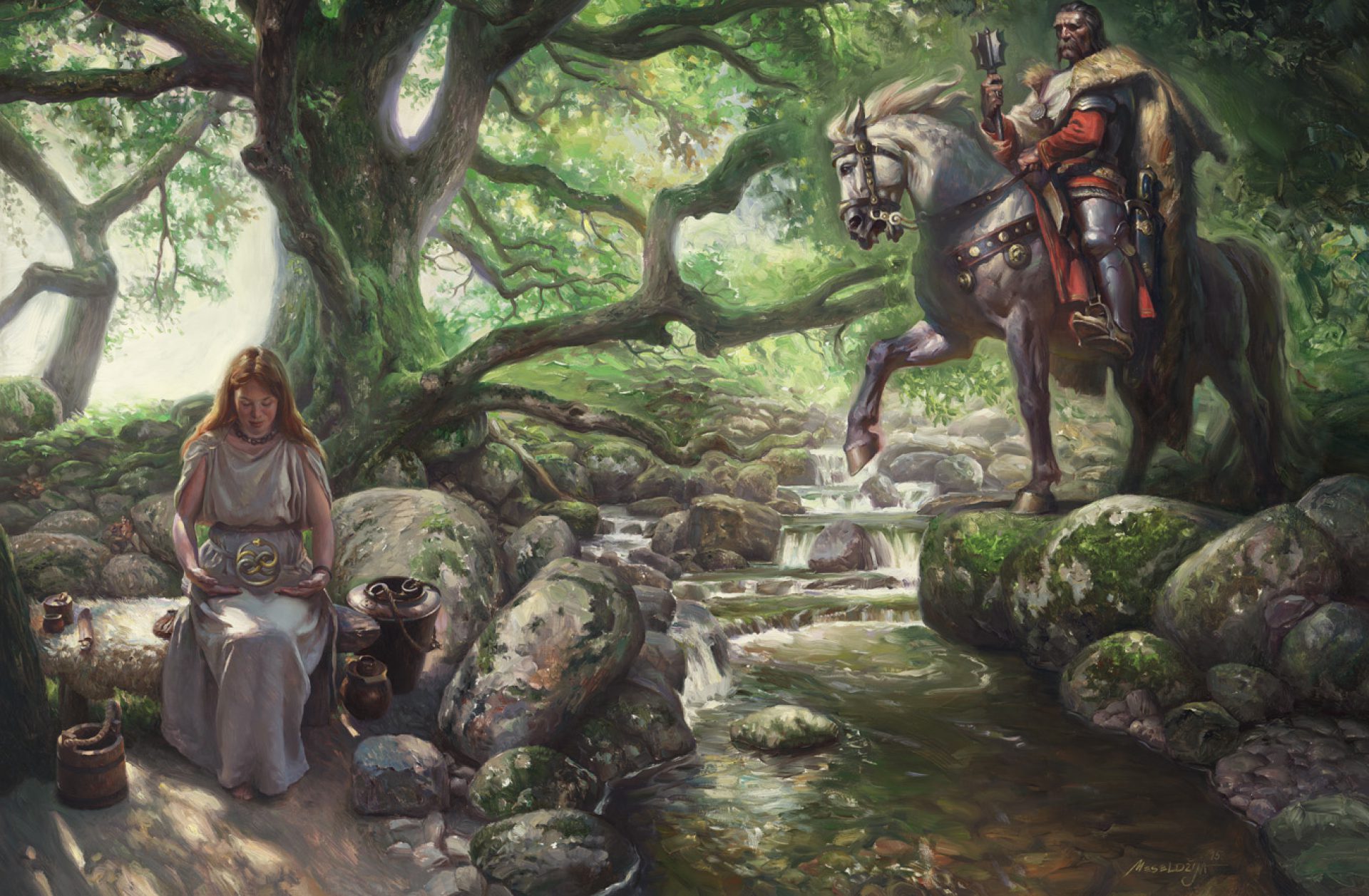
The foundations of the Balkan key road – the Constantinople Road, were placed as early as in the Roman times. The Romans built a network of pretty good roads all over the Emprire, so in 33 A.D. Via militaris was built, a Military Road going from Singidunum, down the Margusa (Morava) river valley, through Naissus (Niš) and Serdica (Sofia) towards Asia Minor. The road was straight and 9 paces wide (6 m), flagged with large multigonal slabs or was covered with sand, with stone bridges and milestones. Along the road there were stops for people to change the horses (mutatio) and stay overnight (mansio), all arranged at distances of a day’s walk. In the Middle Ages, the road was called the Imperial Road or the Morava Road. In the Ottoman period it was the Constantinople Road, a road to Istanbul or the Great Road. In the Ottoman times, the Roman Road was substantially damaged. Turks used to repair it for the march of their army, but, the gravel road was quite inconvenient for travelling, especially when covered with deep mud. Many travellers used to describe troublesome situations when they had to pull out the equipment from the Morava Road mud. Besides the army, caravans of all sorts of goods were travelling along the road, then various official envoys or sometimes a world traveller. people travelled on foot, on horses or in carriages and the whole enterprise was very dangerous. Highwaymen, haiduks, lurked in the thick forests along the road, and particularly dangerous were those on Lipar nearby Jagodina and on Kunovica mountain, nearby Niš. A travel from Belgrade to Niš lasted 40 hours, not counting the rests and overnight stays.
ART
Many travellers left their accounts of the Constantinople Road travel – su ostavili svedočanstva o putovanju Carigradskim drumom – Bertrandon de La Broquière in the 15th century, Evli Çelebi in the 17th century, and several English travellers in the 19th century.
GEOGRAPHY
Some of the Roman Road stops were: Mutatio ad sextum (Mali Mokri Lug), Tricornium (Ritopek), Margum (Kulič, near Smederevo), Viminacium (Kostolac), Idimmum (Medveđa), Horreum Margi(Ćuprija), Praesidium Pompei (Bovan, near Aleksinac), Naissus (Niš), Remesiana (Bela Palanka), Turres (Pirot). The Turkish road went from Belgrade, via Hisarcık (Grocka) along the Morava left bank, via Kolari, Hasan-Pasha’s Palanka (Smederevska Palanka) and Jagodina, and then at Ravna (Ćuprija) it continued down the Roman road. Today, it is the Corridor 10 direction, the main highway in Serbia.